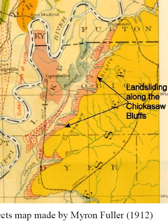
Memphis was not available for European settlement until after 1812, and an agreement with the Chickasaw Indians. Memphis was built on/near the "fourth Chickasaw bluffs (just north of town). Fuller's book, made from horseback observation 100 years ago, is regarded as authoritative. Fuller talks about the environmental impact of the quakes.
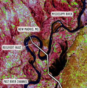
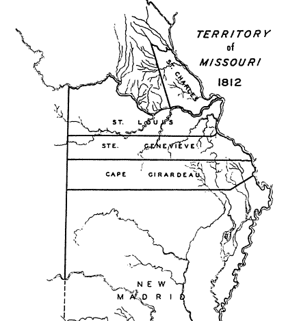
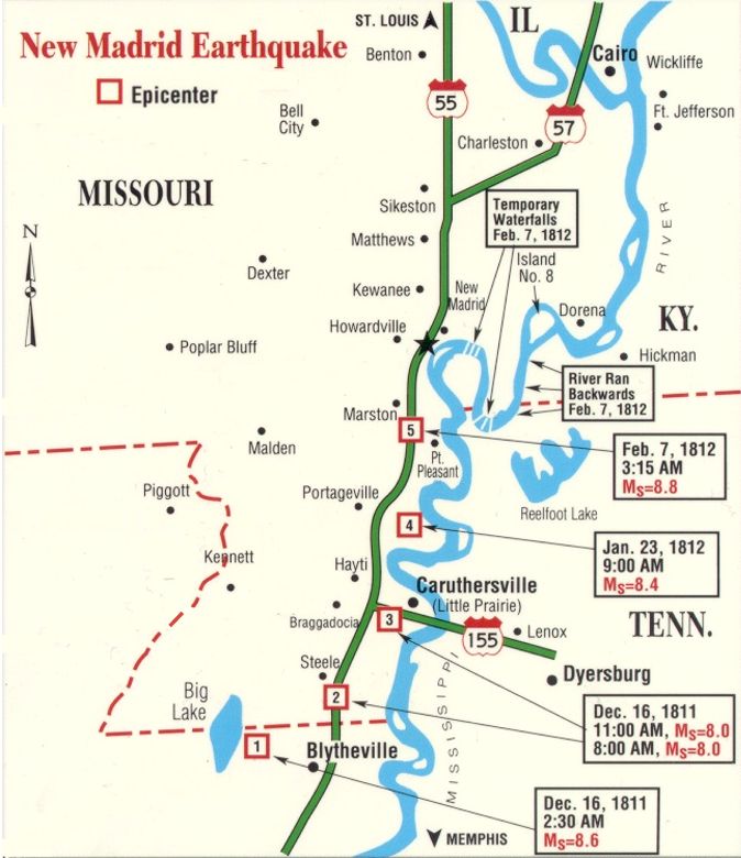
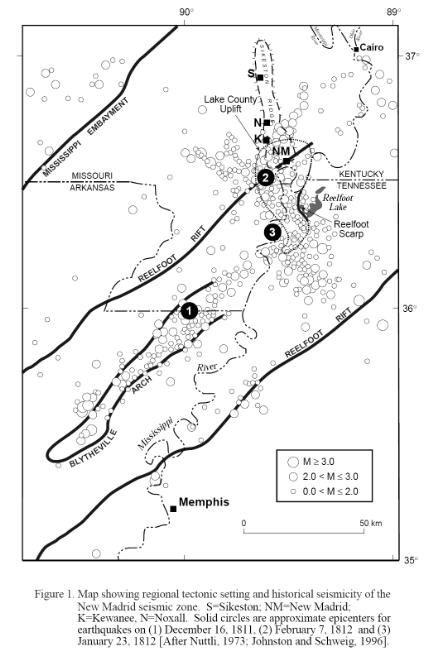
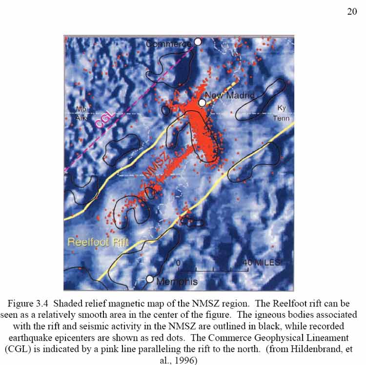
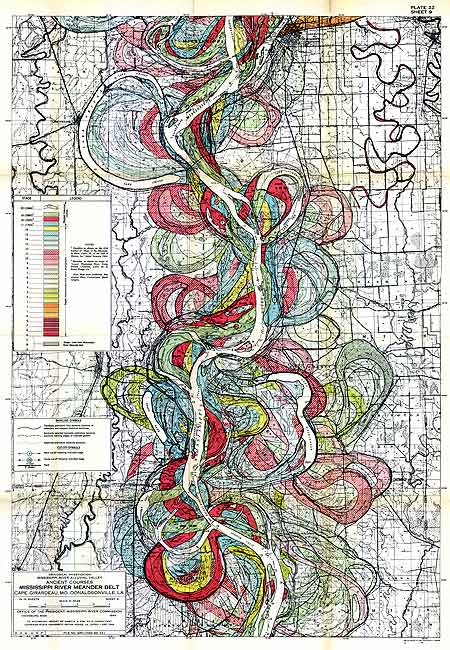
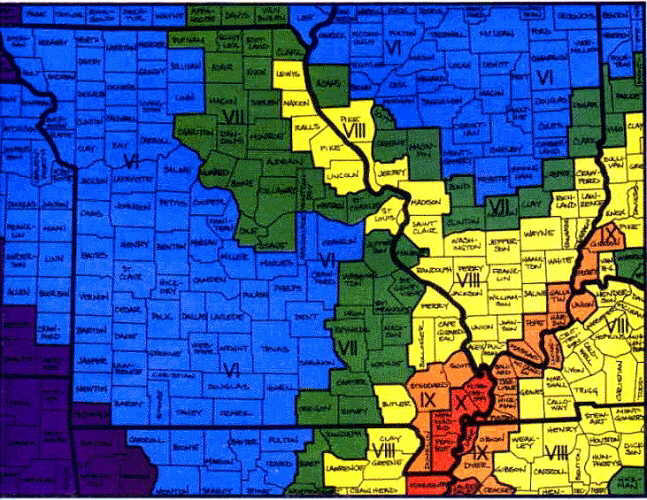
Map and info below come from book "On Shaky Ground: The New Madrid Earthquakes of 1811-1812" By Norma Hayes Bagnall 1996. Map originally from State of Missouri Handbook 1945-1946.
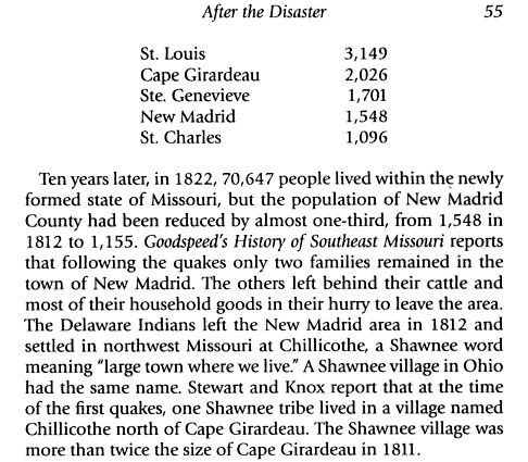
Lewis & Clark found the Shawnee village north of Cape Girardeau in 1803 and said it numbered 400 inhabitants. Area is now northern Cape Girardeau County.